Version History
Here you can find the changelog of Line Inspector since it was posted on our website on 2016-10-29.
The latest version is 2.3.8 and it was updated on soft112.com on 19 April, 2024.
See below the changes in each version:
version 2.3.8
posted on 2024-04-16
Apr 16, 2024
Version 2.3.8
• Enhanced map interaction! Tap to choose from multiple objects located at the same location.
• Performance improvements and bugfixes.
version 2.3.7
posted on 2024-03-29
Mar 29, 2024
Version 2.3.7
• Performance improvements and bugfixes.
version 2.3.6
posted on 2024-03-02
Mar 2, 2024
Version 2.3.6
• Improved keyboard handling in remark details screen.
• Performance improvements and bugfixes.
version 2.3.5
posted on 2024-02-22
Feb 22, 2024
Version 2.3.5
• Performance improvements and bugfixes.
version 2.3.4
posted on 2024-02-12
Feb 12, 2024
Version 2.3.4
• Performance improvements and bugfixes.
version 2.3.3
posted on 2024-02-06
Feb 6, 2024
Version 2.3.3
IMPROVEMENTS:
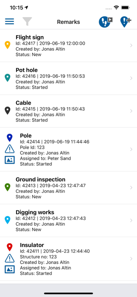
• Added icons in remarks list
• Added icons in traces list
version 2.3.2
posted on 2024-02-01
Feb 1, 2024
Version 2.3.2
NEW FEATURES:
• Search in map layers list
- Allows you to search for map layers by name
- Useful when there are many map layers in the list
• Updated background maps
- New improved styling of the existing background maps
- Added a new background map "OpenStreetMaps"
IMPROVEMENTS:
• Performance improvements and bugfixes.
version 2.3.1
posted on 2024-01-25
Jan 25, 2024
Version 2.3.1
Improvements:
• Performance improvements and bugfixes.
Thank you for using Line Inspector!
version 2.3.0
posted on 2024-01-12
Jan 12, 2024
Version 2.3.0
New features:
• Added the possibility to pause/resume a trace.
- Allows you to split a trace into multiple segments.
- Useful e.g. for when a powerline has non-continious sections (parts that are underground).
• Added new data fields to traces
- speed
- min/max altitude
- duration
Improvements:
• Performance improvements and bugfixes.
Thank you for using Line Inspector!
version 2.2.15
posted on 2023-10-02
Oct 2, 2023
Version 2.2.15
Fixes:
• Performance improvements and bugfixes.
Thank you for using Line Inspector!
version 2.2.10
posted on 2023-06-20
Jun 20, 2023
Version 2.2.10
[Improvements]
• Enhanced support for active/inactive items.
• Inactive items are now displayed in a dedicated section within lists and pickers.
Thank you for using Line Inspector! If you have any feedback or suggestions, please don't hesitate to reach out to us by emailing support@lineinspector.com.
version 2.2.9
posted on 2023-04-25
Apr 25, 2023
Version 2.2.9
[Improvements]
• Updated the app's look and feel, bringing it more in line with the latest iOS design standards.
• We've boosted the speed and efficiency of list rendering to make scrolling smoother and faster.
• Updated the image caption look and feel making it easier to edit image captions.
Thank you for using Line Inspector! If you have any feedback or suggestions, please email us at support@lineinspector.com.
version 2.2.7
posted on 2023-03-13
Mar 13, 2023
Version 2.2.7
[New Features]
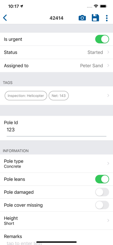
• Autofill data fields from map layers: Save time when creating new remarks by automatically filling in data fields from nearby map layer features.
• Set default value for data fields: Set a default value for data fields, so you don't have to enter them every time when creating new remarks.
• Added icons to select lists: Icons have been added to lists for remark types, map layers, tags, users, and status.
• Hide/show flash button: Choose to hide the flash button in the remark type picker screen if it's not needed.
• Support for negative values in numeric data fields.
[Other Changes]
Fixed issue in filters screen: We have fixed an issue where some remark filters were not being saved correctly on app restarts.
Thank you for using Line Inspector! If you have any feedback or suggestions, please email us at support@lineinspector.com.
version 2.1.32
posted on 2022-08-16
Aug 16, 2022 Version 2.1.32
• Performance improvements and bugfixes.
version 2.1.29
posted on 2022-05-11
May 11, 2022 Version 2.1.29
• Performance improvements and bugfixes.
version 2.1.28
posted on 2022-05-08
May 8, 2022 Version 2.1.28
• Performance improvements and bugfixes.
version 2.1.23
posted on 2021-12-03
Dec 3, 2021 Version 2.1.23
• Performance improvements and bugfixes.
version 2.1.20
posted on 2021-10-12
Oct 12, 2021 Version 2.1.20
• The remark details screen now shows an "info" icon for data fields that has a comment/info. Pressing the icon will show a popup with the comment/information.
version 2.1.19
posted on 2021-10-07
Oct 7, 2021 Version 2.1.19
• Fixed a bug where a small number of users occasionally got logged out when app is shut down.
• Improve remark details tab navigation and scroll position when moving between tabs
• Performance improvements and bugfixes.
version 2.1.18
posted on 2021-09-27
Sep 27, 2021 Version 2.1.18
• Performance improvements and bugfixes.
version 2.1.14
posted on 2021-07-07
Jul 7, 2021 Version 2.1.14
Bugfixes
version 2.1.13
posted on 2021-07-02
Jul 2, 2021 Version 2.1.13
Bugfixes
version 2.1.10
posted on 2021-06-24
Jun 24, 2021 Version 2.1.10
-- Map on remark details screen --
We have added a map on the remark details screen, allowing you to directly see the position of a remark without the need to switch to the main map view.
-- Tabs on remark details screen --
Added tabs on the remark details screen so you can easily move between details, photos and map.
-- Manual download of map layers --
You can now choose between automatic or manual download of map layers. This makes it possible to only download the map layers you need on the device (handy if your organisation has many layers that you don't need).
You can choose if you want automatic or manual download of map layers when you login. You can also change it at the bottom of the map layers list.
version 2.1.9
posted on 2021-06-14
Jun 14, 2021 Version 2.1.9
• Minor improvements, performance optimizations and bugfixes
version 2.1.8
posted on 2021-05-20
May 20, 2021 Version 2.1.8
-- MAP LAYER LIST --
We have improved the map layer list so that you can now see 4 different lists:
• All layers
• Favourite layers
• Selected layers
• Layers that are nearby
This will simplify map layer selection, especially for organisations with many map layers.
version 2.1.6
posted on 2021-04-21
Apr 21, 2021 Version 2.1.6
• Map follow mode (north oriented, heading or course) is now persisted after a 'long press' on the map
version 2.1.4
posted on 2021-02-19
Feb 19, 2021 Version 2.1.4
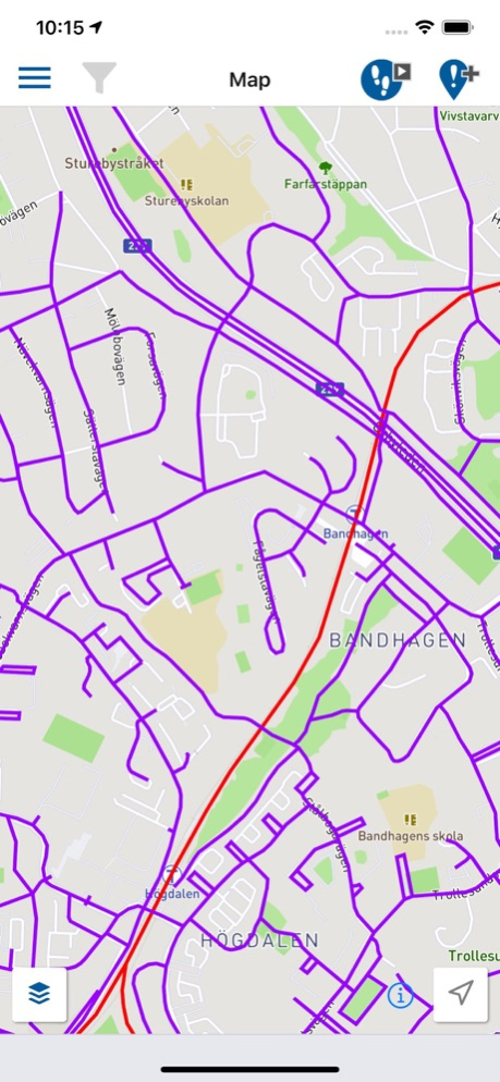
• Course arrow showing direction of travel
In version 1 of the app the map showed a course arrow. Due to technical limitations we had to remove the arrow when we released version 2. This release adds the arrow again and this is something that we know many of our users will appreciate.
The arrow is disabled by default but if you want it, you can turn it on in 'Map settings' screen (same screen where map layers are enabled/disabled).
version 2.1.3
posted on 2021-01-23
Jan 23, 2021 Version 2.1.3
Performance improvements and bugfixes that make Line Inspector even nicer to work with.
version 2.1.2
posted on 2021-01-17
Jan 17, 2021 Version 2.1.2
Bug fixes
version 2.1.1
posted on 2020-12-18
Dec 18, 2020 Version 2.1.1
=========== NEW IN 2.1.1 ===========
• Support for QR codes and bar codes
It is now possible to fill text fields by scanning a QR code or a bar code.
=========== NEW IN 2.1.0 ===========
• Custom map icons
It is now possible to create specialized map icons when creating map layers and remark types in Line Inspector. This is a great upgrade since it will allow our users to much better recognize different features on the map.
• Add multiple photos in one go
Up until now, when you added existing photos from your device you had to do it one by one. It is now possible to select up to 10 photos in one go and this will really speed up the process for users adding more than 1 photo.
• Adjustable map layer clustering level
For point map layers we cluster/group points at a certain zoom level to keep the map less cluttered and more readable. With this update it is now possible to select at what zoom level a point map layer should be clustered (done in the dashboard).
• Re-enable map layers on app restart
If you had map layers enabled before the app is restarted you will now have the option to re+enable them all when the app starts. This is a feature many of our users has asked about since it can be time consuming to reenable map layers individually.
• Performance optimizations that improves app responsiveness, especially for older devices.
• Plus many additional small improvements and bugfixes that make Line Inspector even nicer to work with.
version 2.1.0
posted on 2020-12-05
Dec 5, 2020 Version 2.1.0
• Custom map icons
It is now possible to create specialized map icons when creating map layers and remark types in Line Inspector. This is a great upgrade since it will allow our users to much better recognize different features on the map.
• Add multiple photos in one go
Up until now, when you added existing photos from your device you had to do it one by one. It is now possible to select up to 10 photos in one go and this will really speed up the process for users adding more than 1 photo.
• Adjustable map layer clustering level
For point map layers we cluster/group points at a certain zoom level to keep the map less cluttered and more readable. With this update it is now possible to select at what zoom level a point map layer should be clustered (done in the dashboard).
• Re-enable map layers on app restart
If you had map layers enabled before the app is restarted you will now have the option to re+enable them all when the app starts. This is a feature many of our users has asked about since it can be time consuming to reenable map layers individually.
• Performance optimizations that improves app responsiveness, especially for older devices.
• Plus many additional small improvements and bugfixes that make Line Inspector even nicer to work with.
version 2.0.9
posted on 2020-06-21
Jun 21, 2020 Version 2.0.9
• Performance optimizations that improves app responsiveness, especially for older devices.
• Increase text size in fly-to box, making it easier to view the information when flying.
• Bug fixes.
version 2.0.7
posted on 2020-05-13
May 13, 2020 Version 2.0.7
This release contains new functionalities related to flying that we hope you will like.
• Fly to here
It is now possible to get "Fly to here" directions to help in navigating/flying to a location on the map. This is activated by doing a long-press on the map at the point you want to fly to.
• User heading arrow
We have added a new user indicator "blue dot" that shows the heading/direction the device is facing.
• Location indicator when doing long-press
When doing a long-press on the map to drive to/fly to/create remark, we now show a small indication on the map where you pressed, helping you get a better precision/feedback on where you touched.
version 2.0.5
posted on 2020-04-19
Apr 19, 2020 Version 2.0.5
- Bug fixes
version 2.0.4
posted on 2020-03-24
Mar 24, 2020 Version 2.0.4
- Optimised gps usage (gives less battery consumption, better traces etc.)
- Optimised battery consumption
- Reduce disk usage by periodically removing the local copy of photos you take after they have been synced
- Bug fixes
version 2.0.3
posted on 2020-02-28
Feb 28, 2020 Version 2.0.3
- Bug fixes
version 1.2.0
posted on 2014-03-21
version 2.0.9
posted on 1970-01-01
2020년 6월 21일 Version 2.0.9
• Performance optimizations that improves app responsiveness, especially for older devices.
• Increase text size in fly-to box, making it easier to view the information when flying.
• Bug fixes.
version 2.0.5
posted on 1970-01-01
2020年4月19日 Version 2.0.5
- Bug fixes
version 2.0.9
posted on 1970-01-01
2020年6月21日 Version 2.0.9
• Performance optimizations that improves app responsiveness, especially for older devices.
• Increase text size in fly-to box, making it easier to view the information when flying.
• Bug fixes.
version 2.1.1
posted on 1970-01-01
2020年12月18日 Version 2.1.1
=========== NEW IN 2.1.1 ===========
• Support for QR codes and bar codes
It is now possible to fill text fields by scanning a QR code or a bar code.
=========== NEW IN 2.1.0 ===========
• Custom map icons
It is now possible to create specialized map icons when creating map layers and remark types in Line Inspector. This is a great upgrade since it will allow our users to much better recognize different features on the map.
• Add multiple photos in one go
Up until now, when you added existing photos from your device you had to do it one by one. It is now possible to select up to 10 photos in one go and this will really speed up the process for users adding more than 1 photo.
• Adjustable map layer clustering level
For point map layers we cluster/group points at a certain zoom level to keep the map less cluttered and more readable. With this update it is now possible to select at what zoom level a point map layer should be clustered (done in the dashboard).
• Re-enable map layers on app restart
If you had map layers enabled before the app is restarted you will now have the option to re+enable them all when the app starts. This is a feature many of our users has asked about since it can be time consuming to reenable map layers individually.
• Performance optimizations that improves app responsiveness, especially for older devices.
• Plus many additional small improvements and bugfixes that make Line Inspector even nicer to work with.
version 2.1.6
posted on 1970-01-01
21 апр. 2021 г. Version 2.1.6
• Map follow mode (north oriented, heading or course) is now persisted after a 'long press' on the map